Pointe Percée
Saturday 02 Sep 2023very difficult (T5) 1200m 1200m 11 km 8h Map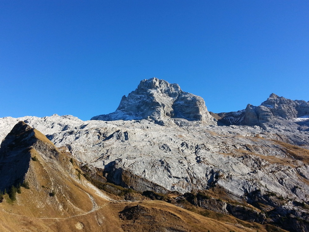
A challenging hike to the highest and very prominent peak in the Aravis massif, the Pointe Percée (2750m). We will attempt the traverse by ascending via the Cheminées de Sallanches and use the normal route for the descent. The hike offers outstanding views over the Mont Blanc range.
This is a very difficult hike (T5) and you have to be able to move safely across rock with the occasional use of your hands and be comfortable with large exposure.
We park our cars at Col des Annes (1710m) and take the trail to the refuge de Gramusset. From here we continue up the combe de Verts to arrive at the Col de Verts. After a short traverse we arrive at the first (and most difficult) chimney with some class II scrambling but very good handholds. After that it’s a fun cruise to the summit of Pointe Percée (2750m), never too difficult but challenging enough to stay alert. After our picnic, we will descend via the normal route which is only marginally easier and still requires our full concentration. Once back at the refuge de Gramusset we retrace our steps to the car park.
Equipment
- Usual hiking equipment and picnic
- A climbing (or bike) helmet to protect against loose rocks
Costs
- Passengers pay each 20 CHF for transport (drivers pay toll)
- Ski Club tax: 5 CHF (15 CHF non-members)
Signup
- Hike leader: Frank Winklmeier (scig@winklmeier.name)
- Sign-up via email by Thursday, 31 Aug 2023 with the following information:
- Full name
- Mobile phone number
- Are you a ski club member of the current 2023/24 season? (memberships expire at the end of May)
- If this is your first hike with me, what comparable hikes have you done?
- Do you need or can you offer a ride in your car and for how many additional people?
Transport
- Meeting point: 8:30 Gare Routiere, Geneva (next to the ticket office and the “Coffee Point”, Map)
- Instructions for drivers: A40 (Autoroute Blanche) and take exit number 18 towards Le Grand-Bornand and follow directions to Col des Annes, France
Disclaimer
By registering, you agree that you are fit for this level of hike and/or that you have previously participated in a similar hike with SCIG. By registering, you confirm that you carry insurance against accidents and mountain rescue, including helicopter rescue operations (e.g. REGA). Check with your employer to see if you are properly insured. The hike leader and SCIG disclaim any and all liability for accidents related to this hike. The hike leader is not a professional guide.